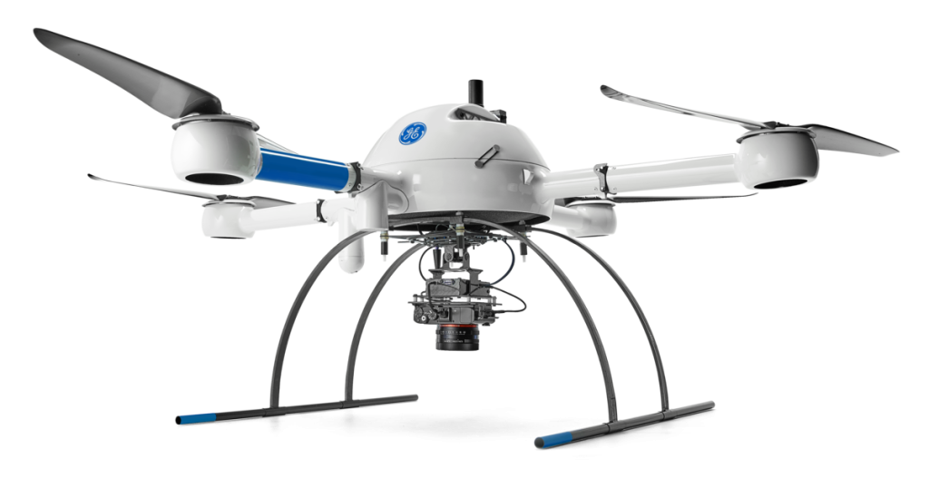




At Carolina Cornerstone Surveying, we understand the importance of accurate land surveying in various industries, including real estate development, construction, infrastructure planning, and property boundary delineation. Our licensed surveyor possesses the knowledge, expertise, and state-of-the-art equipment to handle projects of all sizes and complexities.
We were featured on Duck Family Treasure using LiDAR (Light Detection and Ranging) drone footage for high-resolution 3D modeling of land terrain and structures. Watch at the 5:30 mark below and see how we used our drone equipped with a LiDAR sensor.

A survey is performed in order to locate, describe, monument, and map the boundaries and corners of a parcel of land.

An aerial survey performed utilizing drones and unique cameras to prepare aerial data having downward-facing sensors.
A boundary survey is a way to formally define the boundaries of a property. It focuses largely on defining the corners of a parcel of land.
A mortgage survey is one type of survey you might have done on a piece of property you want to purchase that can reveal a lot of information on possible problems.
A construction stakeout survey uses surveying techniques to stake out buildings, roads, walls, utilities, etc. This includes horizontal and vertical grading, slope staking, and final as-built surveys.
This survey is a very detailed survey often required by lending institutions. The request for this survey must be in writing and be accompanied by all of the deeds and easements affecting the subject property, as well as the deeds to adjoining properties. A list of items to be located as noted in the ALTA/ACSM publication can also be included.
A survey locating all the improvements and topographic features such as: elevations of the land, embankments, contours, trees, water courses, roads, ditches, utilities, etc. This survey can be used in conjunction with a Location Survey in order to prepare a site design map, a subdivision map, or an erosion control plan.
A boundary survey with the additional location of all the interior improvements. Missing corner markers are replaced. A map showing the boundaries and improvements is prepared. This type of survey could be required to the acquisition of a loan.
This survey uses a boundary and topographic survey as a base to design future improvements. It can be a design for a house, a residential subdivision, a store, a shopping center, a new street or highway, a playground, or anything else.
We utilize advanced GPS systems, robotic total stations, 3D laser scanners, and aerial drones to collect data quickly and with high precision. This allows us to deliver detailed survey reports in a timely manner, saving our clients time and money.
Our friendly and knowledgeable team will be happy to assist you and provide a personalized solution for your project.
Our surveying professionals have extensive experience in conducting various types of surveys, including boundary surveys, topographic surveys, ALTA/NSPS land title surveys, construction staking, and more.

Doug did a great job and is the nicest guy ever! He was knowledgeable and worked in the rain! Thank you so much for your help! If you have a land dispute with your neighbor just go ahead and order the survey. It's well worth it to know instead of letting tensions run high. Doug put flags around and showed me when he finished so I was fully aware of what was my property line. Thank you so much you truly saved me. If I could give you more than 5 stars I would.
